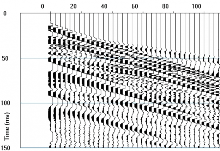
Geophysical Investigation For Geotechnical Application
If you work for:
- Irish local or national government,
- A property developer,
- A consulting engineer,
- A mineral exploration company…
Or any other type of business that drills or digs below ground – you need reliable and actionable geophysical surveys to help make important decisions –
Minerex Geophysics can help you.
Our ground investigations use instruments that measure the natural forces of the earth and the properties of rocks, soils and sediments, to build up a picture of what’s below ground level.
When combined with GPS data, our subsurface readings can map and assess the suitability of sites for many uses before physical ground investigations start.
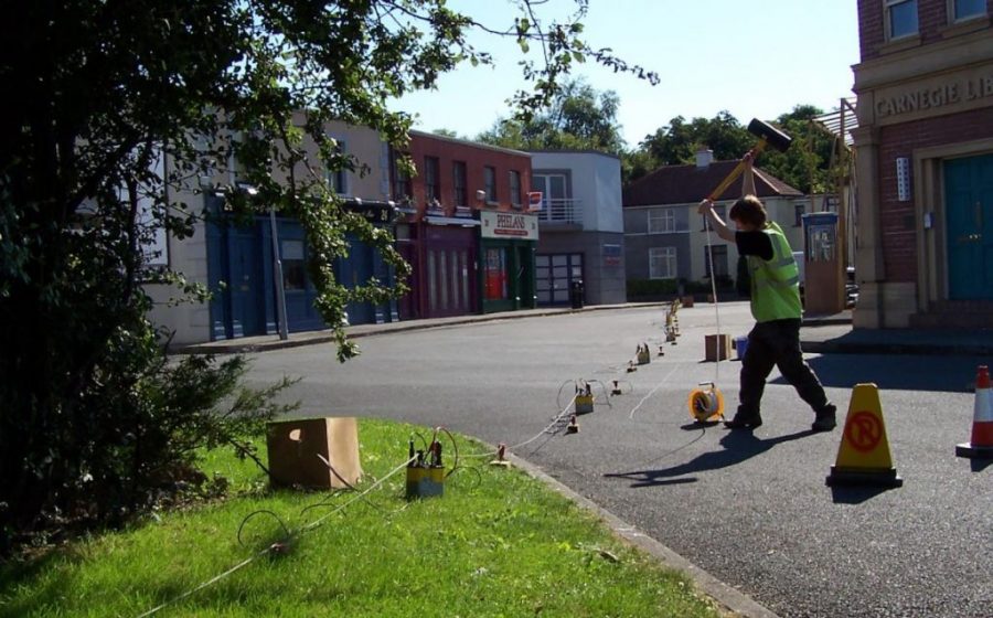
Seismic Survey in Fair City
Helping your engineers
We contribute to new development projects from the preliminary desk-based study onwards – helping your planning engineers with useful data on subsurface geology and parameters:
- Type of Overburden and Rock
- Thickness of Peat and Overburden and other Layers
- Depth to Rock
- Strength, Stiffness or Compaction of Overburden Materials
- Determination of Small Strain Shear Modulus
- Estimation of Rock Quality
- Existence of Faults or Fracture Zones
- Karst (Geohazard)
- Natural & Man-Made Cavities
- Slope Stability
Once a site is approved for development, geophysical data plays a key role in optimizing drilling and digging plans and schedules for the project.
A geophysical survey provides significant benefits to almost any site investigation. This method of preliminary investigation and staged mobilisation helps to create and maintain more accurate budgets and schedules, reducing the risks and costs of large engineering projects.
Minerex Geophysics can get a team on site almost anywhere in Ireland, and a clear actionable report produced with a surprisingly fast turnaround time.
Geotechnical Application Measurements
Rock
Depth to Rock
Rock Type
Weathering
Rock Quality
Rippability
Excavation Volumes
Faults, Fractures, Karst
Overburden
Thickness
Composition
Cohesion
Stiffness or Compaction
Elastic Moduli
Primary & Shear Wave Velocities
Soft Ground
Depth or Thickness
Lateral Extent
Stiffness
Volume
Piling Depth
Base Material
Shear Modulus
Heavy Civil Engineering For Infrastructure Development
These are large scale projects of national and regional importance:
- Roads, Pavements & Railways
- Embankments, Bridges & Tunnels (Example: Transport Infrastructure Ireland)
- Waterways, Ports & Airports (Example: Cork Lower Harbour)
- Utilities – Example: (Example: Water Supply Scheme Irish Water)
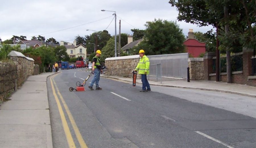
Ground Penetrating Radar Surveying
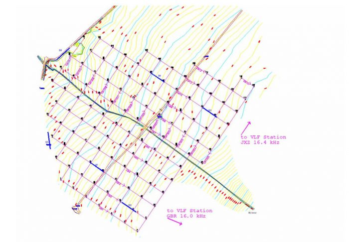
Utilizing Grids
Commercial Land & Resource Development
- Retail and Private Construction – Shopping Centres, Housing Developments, Brownfield Sites
- Power stations, Geothermal installations & Wind farms (Example: Ground Investigation of Cable Routes for SSE Galway Wind Park)
- Gas & Oil Industry (Example: Survey of river crossings for GNI pipeline to Great Island)
- Quarry Developments (Examples: Sand and Gravel Pits, Rock Quarries)
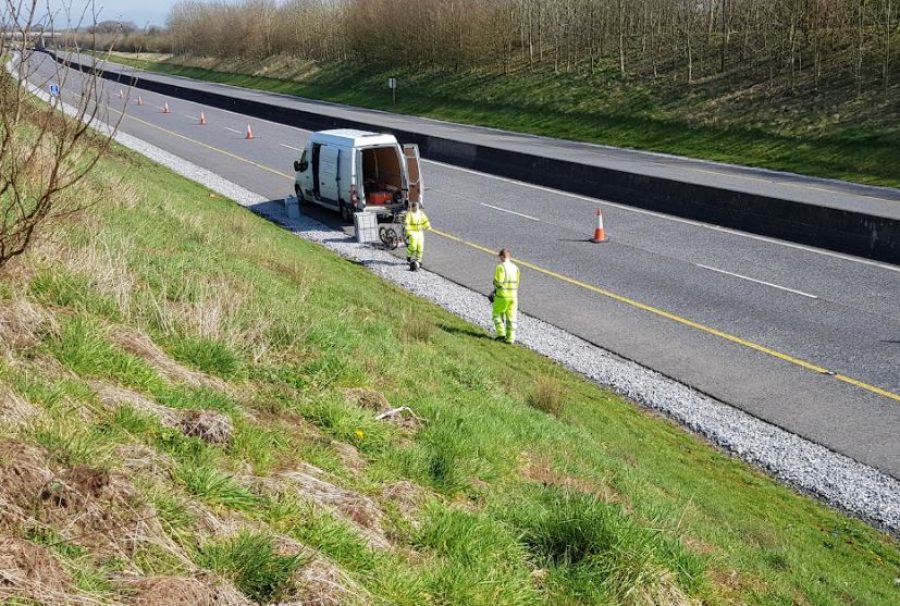
Ground Penetrating Radar
Pre-Drilling Optimisation
Geophysical reports are used to optimise the location of trial pits and bore holes for geotechnical engineering.
These physical inspections will yield further data to check against your expectations, and develop your project plans to the next phase.
