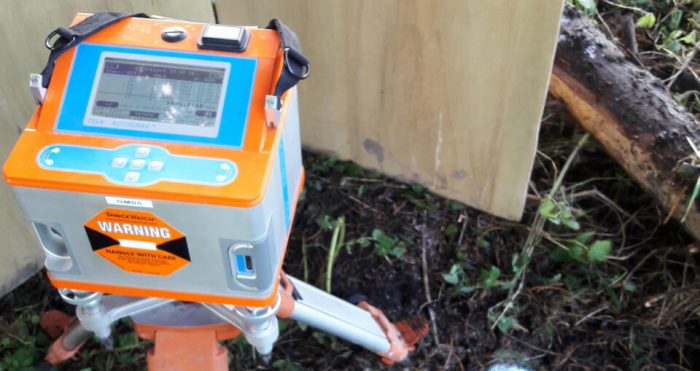
Microgravity

By taking measurements of gravity at ground level, and comparing them, we can see which areas show stronger gravitational force (rock) and weaker gravitational force (overburden, cavity).
The areas with low gravity force indicate less dense materials below – possibly air-filled caves, underground water sources, or cavities filled with looser sediments.
Measurements for near surface geophysics are done on grids where the station spacing is the most important factor (typically 2 – 5 m). Surveys consist of several hundred stations e.g. to define a karst zone under a road corridor.
Microgravity processing uses exact elevations for several corrections and reductions to obtain Bouguer and Residual Anomalies. Inversions and forward modelling can be done to improve the ground model. Displays are generally done as contour maps with an overlaid interpretation.
The values can be used to estimate the ‘lack’ or ‘deficit’ of density in the ground which can give an engineer a quantity to work with in problem remediation.
