Magnetic Surveying

Humans have known about the magnetic properties of certain rocks for thousands of years, and developed an understanding that the Earth is in fact a ‘giant magnet’ about 800 years ago.
At the start of the industrial revolution in the 1700s, magnetic surveys were the first geophysical technique widely used to discover deposits of iron ore for mining and processing into steel and other metal alloys. It was also taken up by archaeologists to help them find relics buried close to surface level.
Today, magnetic surveying is done using magnetometers that can give detailed readings of magnetic fields, and be used along lines or in grids to do comparative measurements from point to point to give deeper and more detailed data.
Magnetic surveys are great to detect metal pipelines, archaeological features, objects, buried waste and large scale geology.
Magnetometers are routinely combined with GPS for accurate positioning and speed of acquisition.
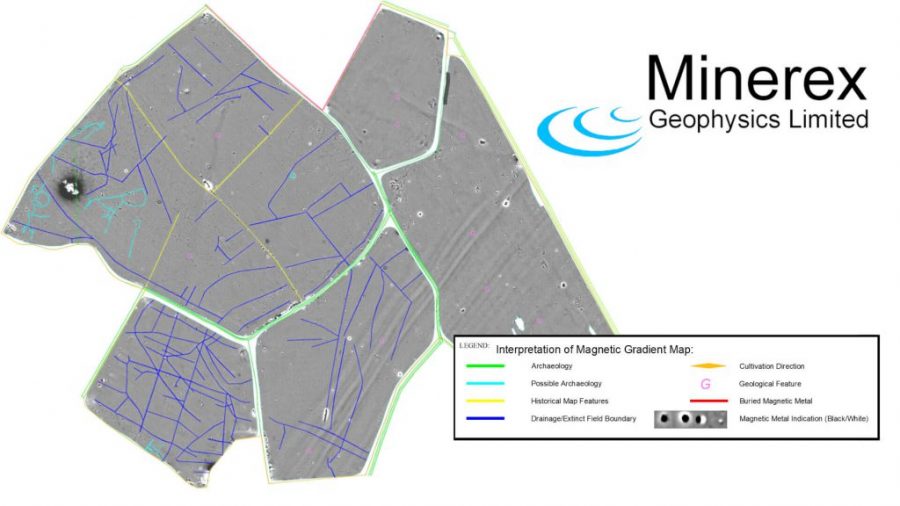
Results are displayed as graphs or contour maps to outline areas of interest and forward or inverse modelling can be done to estimate the size and depth of objects, ranging from unexploded bombs to treasures or ore bodies
