Depth To Rock Under Water
How To Find Depth To Rock Under Water
For developments that are close to water, or cross over or under it you’ll want to know exactly how to plan for Excavating Trenches, Dredging Bottoms, Laying Services, Horizontal Drilling & Bridge Foundations.
Ports and Harbours

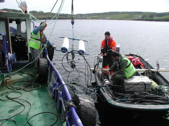
Marine Surveying using Airguns
Port and Harbour authorities routinely survey their marine areas of responsibility to maintain desired water depths, and engage dredging contractors when needed.
Minerex Geophysics can help with pre & post dredge surveys for canals and waterways, coastal regions, congested harbours, and approach channels.
Before dredging works take place we can retrieve samples or sediment cores of the material to be dredged and analyse it to determine the physical and chemical properties.
We also carry out sub-bottom profiling surveys and geotechnical investigations to investigate the depth that an area can be dredged to without resorting to rock blasting.
Marine Geophysics
Marine Geophysics is used for projects located at or near:
- Lakes
- Rivers
- Canals
- Intertidal Zones
- The Shallow Sea
Minerex Geophysics offers surveys for marine and river projects including:
- Bridges & Piers
- Breakwaters & Flood Defenses
- Harbours & Marinas
- Plant Outfall & Intake Pipes
- River Channel Flood Alleviation Schemes

Seismics Surveying
What works best…
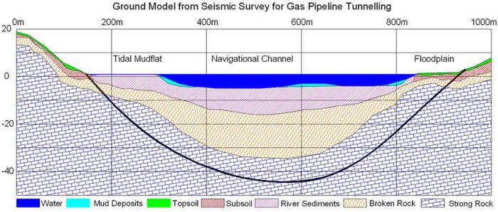
The choice of geophysical method is the key to success in a challenging survey setting – we use seismic refraction and reflection, Schulte Waves, resistivity or magnetics to clarify the geology below the water bottom.
Water depth, tides and saline or fresh water presence are given conditions that are factored into the surveys.
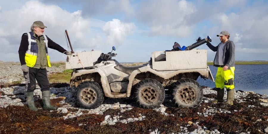
Our specialty is the survey from land through the transition zone into the water with continuous geophysical data acquisition to create ground models either side of the coastline or river bank.

